Construction / Engineering Survey
Accurate setting out and engineering survey support for all stages of construction projects.
Why Need Construction Survey Engineering?
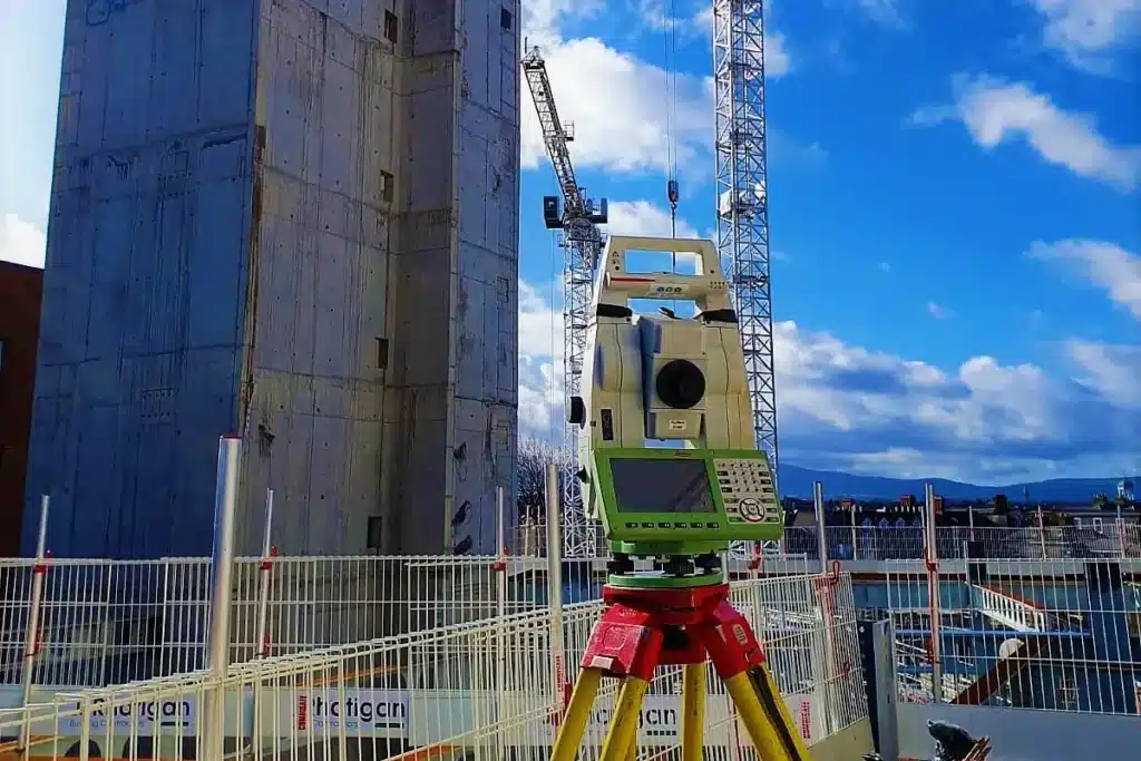
Construction and engineering surveying ensures accurate positioning, alignment, and level control for all types of construction works. It involves transferring design data from drawings to the actual site with high precision.
Our team provides setting out services for gridlines, columns, anchor bolts, road alignments, and level transfer using advanced total stations and modern surveying techniques. We support all stages of construction, from initial layout to final verification.
With a focus on accuracy and efficiency, we help contractors achieve proper execution, minimize errors, and maintain project quality throughout the construction process.
Key Benefits
Accurate setting out of structural elements
Proper alignment and level control
Reduced errors and rework
Supports all construction stages
Our Construction & Survey Engineering Services
Setting Out Survey
Precise transfer of gridlines, column centers, shear walls, and anchor bolt positions from drawing to site the first and most critical step before any pour or steel fix.
Control & Geodetic Survey
Establishing primary and secondary control points using total station and GNSS/GPS methods, so every team on-site contractor, consultant, and subcontractors works from the same fixed reference system.
Level & Elevation Verification
Ongoing checks on slabs, beams, formation levels, and finished floor levels, catching deviations early when they're still cheap and simple to correct.
As-Built & Verification Survey
Field measurement of completed works compared against approved drawings essential for handover documentation, snagging, and future renovation records.
Structural & MEP Setting Out
Accurate positioning for structural members and MEP openings, coordinated to avoid clashes once construction is underway.
Route, Road & Infrastructure Survey Engineering
Alignment, level, and setting-out support for road, utility, and infrastructure projects, from initial layout through to as-built documentation.
Our Process
01. Requirement & Quotation
Share your drawings, BOQ, or site scope. We review and respond with a clear, competitive quotation within 24 hours.
02. Mobilization & Site Execution
On confirmation or LPO, our survey team and equipment mobilize fast, coordinating directly with your site engineer to avoid delay.
03. Reporting & Completion
You receive clean, usable deliverables CAD files, coordinate data, and as-built drawings with support that continues through to project close.
Why UAE Contractors Choose Core Axis Survey Engineering
Engineering-Grade Accuracy
Sub-centimetre precision using modern total stations and GNSS equipment, handled by surveyors who understand construction tolerances, not just instrument operation.
Fast, Reliable Mobilization
Sites across Dubai, Abu Dhabi, Sharjah, and the wider UAE our teams deploy quickly, without the scheduling gaps that stall other survey providers.
Deliverables Built for Your Workflow
CAD drawings, coordinate lists, and reports formatted the way consultants and municipalities expect, ready to plug straight into your project documentation.
A Team That Understands Site Reality
We've worked alongside contractors long enough to know that construction schedules shift constantly so we adapt around your program instead of the other way around.

