LiDAR vs Traditional Land Survey: Which One Actually Fits Your Project?
LiDAR and traditional land surveying offer different advantages depending on your project’s size, terrain, accuracy requirements, and budget. Understanding the differences can help you choose the right surveying method for efficient and reliable results.



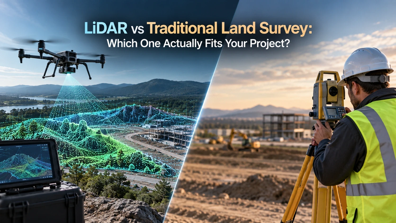
The Question That Comes Up Before Every Large Site Survey
Sooner or later, almost every developer or consultant scoping a large plot in the UAE asks the same thing: “Can we just use LiDAR for this?” It's a fair question. LiDAR has a reputation for being faster and more futuristic than a crew with a total station walking a site for days. But “faster” isn't the same as “right for this job” and the two methods are built to solve different problems, not to replace each other outright.
This article lays out what LiDAR surveying actually captures, where traditional ground survey still outperforms it, and how to decide which one or which combination your project actually needs.
What Is LiDAR Surveying, Exactly?
LiDAR (Light Detection and Ranging) is a remote-sensing method that fires rapid laser pulses at a surface and measures the time each pulse takes to bounce back, building a dense “point cloud” of millions of measured points per second. Mounted on a drone, vehicle, or fixed tripod, it can capture terrain, vegetation, structures, and infrastructure across large or difficult-to-access areas far faster than a survey crew measuring point by point on foot.
It comes in three main forms: airborne LiDAR (drone or aircraft-mounted, for large-area and corridor mapping), mobile LiDAR (vehicle-mounted, for roads and linear infrastructure), and terrestrial LiDAR (tripod-mounted, for buildings and structures this is the same family of technology behind 3D laser scanning, which we've covered in detail separately).
What Counts as “Traditional” Land Surveying?
Traditional land surveying uses ground-based instruments total stations and GPS/GNSS receivers to measure individual points one at a time, each tied back to a known control network. It's a method built around precision at specific, chosen locations: a boundary corner, a benchmark, a structural grid point. Nothing is measured that the surveyor didn't deliberately set out to measure.
That's both its strength and its limit. Every point is exact, but coverage is only as complete as the number of points a crew has time to shoot.
Where LiDAR Pulls Ahead
• Large or irregular land parcels where walking every metre with a total station would take days.
• Corridor mapping roads, pipelines, transmission lines — spanning long, continuous distances.
• Sites with vegetation or ground cover, since LiDAR pulses that reach gaps in canopy can still return bare-earth elevation data.
• Projects that need a dense surface model contours, drainage design, cut-and-fill volumes rather than a handful of key points.
Where Traditional Survey Still Wins
• Legal boundary surveys, where a definitive, individually verified coordinate matters more than surface density.
• Small or tightly constrained sites, where mobilizing LiDAR equipment adds cost without adding useful coverage.
• Structural setting-out and precision layout, where total station tolerances (millimetres, at an exact point) are what the work actually calls for.
• Indoor or heavily obstructed sites, where clear sightlines or flight paths for LiDAR capture aren't practical.
How Core Axis Survey Engineering Approaches LiDAR and Traditional Survey
Core Axis Survey Engineering LLC runs both methods as part of the same toolkit rather than treating them as competing options. Most large-parcel or corridor projects across the UAE start with LiDAR or GNSS to establish site-wide coverage quickly, then bring in total station control for boundary points, structural references, and anywhere millimetre-level certainty is non-negotiable. The right mix comes down to the site, the terrain, and what the deliverable needs to support design, legal documentation, or construction layout.
Our process follows the same three steps we use across all survey work:
• Requirement & Quotation: we review the site, drawings, or BOQ and recommend the method (or mix of methods) that fits.
• Mobilization & Execution: fast site mobilization across the UAE with the right equipment for the terrain.
• Reporting & Completion: point cloud data, surface models, coordinate lists, and reports matched to how your team will use them.
You can see how this fits into our wider capability on our 3D Laser Scanning & BIM Survey service page, or read our related comparison, 3D Laser Scanning vs Traditional Survey, for a closer look at building-scale scanning specifically.

